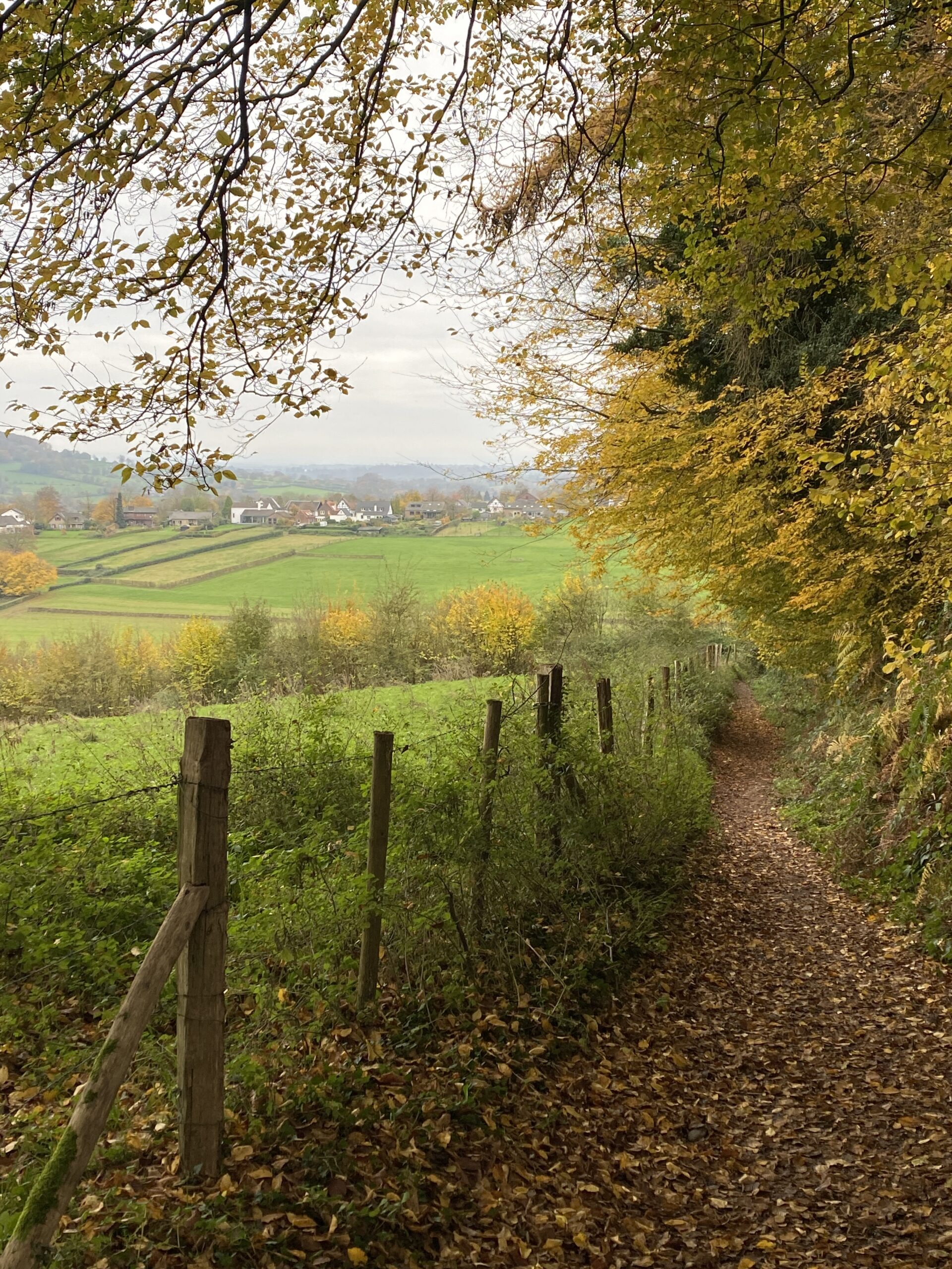
The Dutch Mountain Trail is a hiking route of 101 km that connects the “Seven Summits” of The Netherlands. The route consists of 4 stages, which each day around 25km. The trail starts at the Wilhelminaberg in Landgraaf and ends at D’n Observant in Maastricht. From the seven peaks you always look out over a different valley. This hiking trail is known as the only mountain hiking trail in the Netherlands and was set out on the occasion of the Dutch Mountain Film Festival (DMFF). The DMFF is a multi-day film festival that focuses on mountain landscapes, mountain sports and mountain cultures.
Our Experience
Day tour – Vaals to Gulpen (26KM – 5 hours – one-way)
We wanted to hike a part of the Dutch Mountain Trail in our weekend, so we hiked stage 2 – from Vaals to Gulpen, but with a slight detour where we picked some highlights from stage 3.
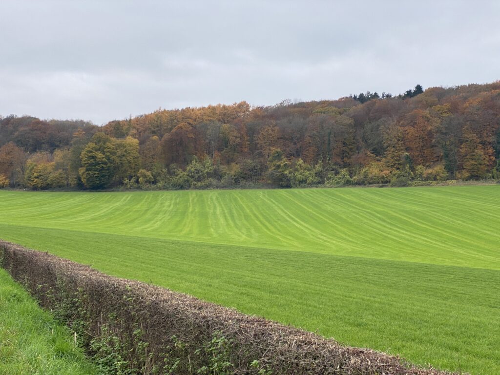
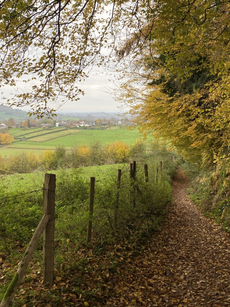
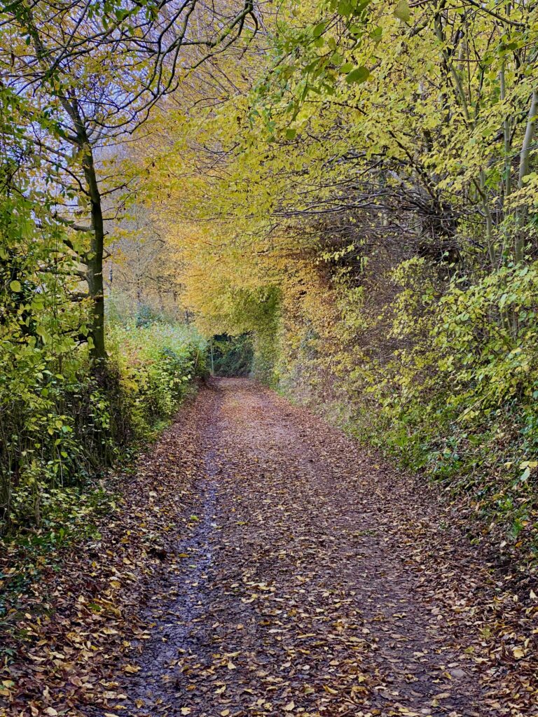
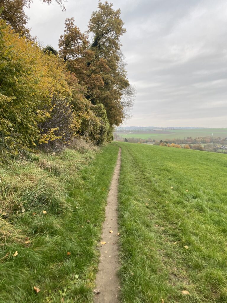
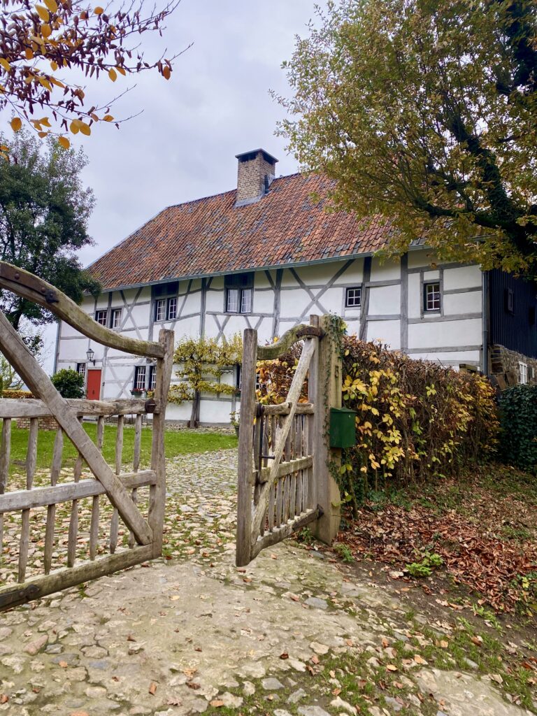
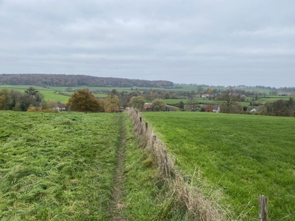
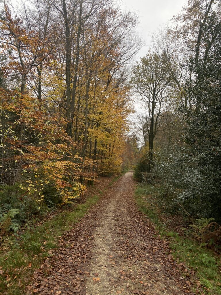
In this stage, forests and rolling meadows alternate. Oddly enough, the Vaalserberg, the highest summit, is not included in these Seven Summits, but as a bonus it should not be missed. We hiked south to the Belgium border, through the Vijlenerbos, idyllic villages with centuries-old buildings in the typical architectural style and many many meadows.
We started our hike from Bloemendal Castle in Vaals. It was a nice experience to see ‘mountains’ in our country. Expect varied terrain, including quiet meadows, dramatic valleys, and vineyards, particularly near the village of Wahlwiller (at the end of the hike). Halfway through, we took a break for coffee and a local delicacy ‘vlaai’! So we had to make a detour to Epen to visit Bakery Franssen. I would definitely recommend walking that extra 2 km.
We slept at the accommodation: Hotel In den Roden Leeuw, next to the monastery in Wittem. The next day we had to leave early, so we took the bus back to Vaals.
Definitely coming back to hike the rest of this trail in other weekends!
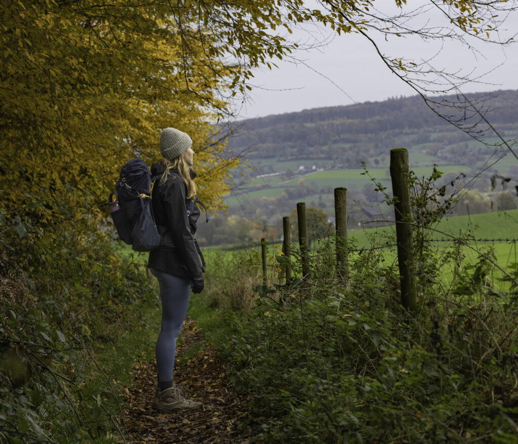
What to pack
- hiking poles
- hiking shoes of sneakers (note: it can be muddy)
- day backpack
- phone / camera to make nice pictures
- Coffee/tea (if you don’t want to make a detour – there is not much on the route itself)
GPX Route
I’m a big fan of Komoot, so here you can find the route with distance, time, height differences all-in-one for each day:


