
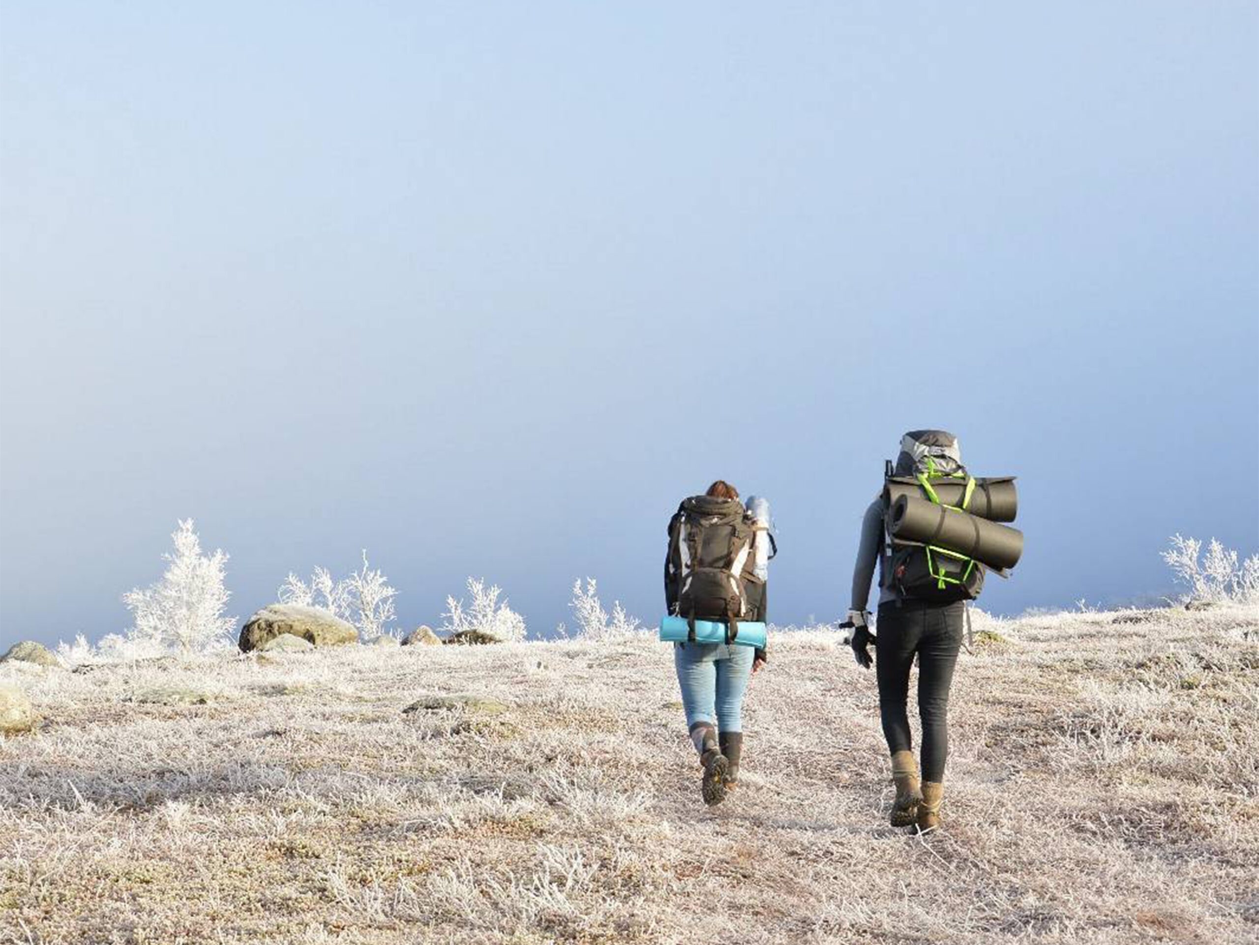
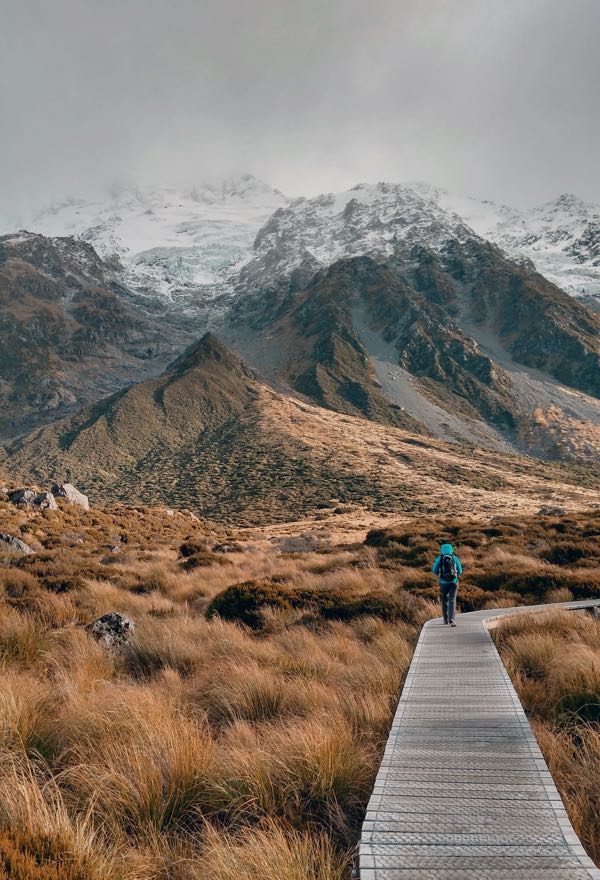
Ready to lace up those hiking boots and dive into the mountains? There’s something about being surrounded by the crisp mountain air and the whispering pines that just gets my heart racing. But, before we hit those trails, let’s talk about a skill that’s close to my adventurer’s heart – wayfinding.
How are hikes marked?
Popular hikes often come with well-marked trails, making navigation a breeze. Here are a few examples of popular long-distance trails with clear signage:
- Pacific Crest Trail (PCT): Covering over 2,600 miles from Mexico to Canada, the Pacific Crest Trail is a mecca for thru-hikers. The trail is marked with distinctive brown wooden signs, and you’ll find the iconic PCT emblem reassuring you that you’re on the right path. The trail also employs colored blazes for additional wayfinding support.
- GR65 (France – Camino de Santiago): The GR65 is part of the Camino de Santiago network, leading pilgrims through France on their way to the Santiago de Compostela Cathedral in Spain. Yellow arrows and scallop shells guide the way, marking the GR65 and ensuring pilgrims stay on the historic route.
- Te Araroa: New Zealand’s Te Araroa is a long-distance trail stretching from the tip of the North Island to the bottom of the South Island. The trail is marked with orange triangles, giving hikers a reliable guide through diverse landscapes, from beaches to mountains.
- GR20 (France – Corsica): Known as one of the toughest long-distance hikes in Europe, the GR20 traverses the rugged and mountainous terrain of Corsica. Red and white paint marks (blazes) guide hikers along the trail, ensuring they stay on the right path amidst challenging ascents and descents.
- GR1 (Spain – Pyrenees): The GR1 trail follows the Spanish side of the Pyrenees, taking hikers through picturesque landscapes. The trail is marked with red and white paint, guiding hikers through the diverse terrain that ranges from dense forests to alpine meadows.
What if there are no marks on the path?
There are a few tips to consider:
- Download beforehand the route on Komoot (if there is a GPS file available)
- Download Google Maps for offline use
- Buy a local map
- A compass
Pack the essentials – a map, compass, maybe even a trusty GPS. Make sure your gear is up to the challenge, and know how to use them like extensions.
Looking for more detailed information on route planning? Read the blog: Route planning tips!