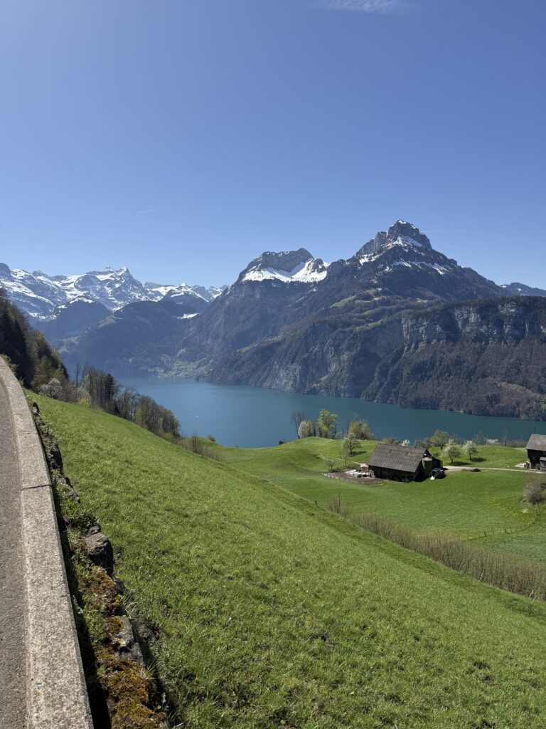
The Weg der Schweiz is a 35-kilometre panoramic trail around the Urnersee (Lake Uri), created in 1991 as a joint project of all Swiss cantons to mark the 700th anniversary of the Swiss Confederation. It begins at the Rütli (the symbolic birthplace of the Swiss Confederation) and ends in Brunnen at the Auslandschweizerplatz. We tackled stages 3 and 4 in reverse, starting with a train to Brunnen and hiking towards Flüelen.
Our experience
Brunnen → Flüelen (15.2 km / ±4h)
Stage 4: Brunnen → Sisikon (8 km / ±2h45)
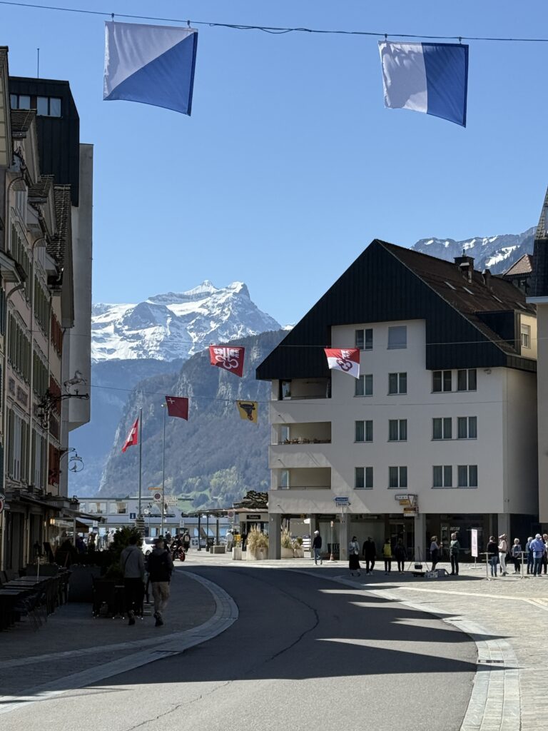
The day starts with Brunnen at your back and Lake Uri stretching out ahead. Worth a moment before you leave: the Auslandschweizerplatz right on the waterfront, a quiet monument to Swiss citizens living abroad.
From Brunnen, the route descends through woodland and clearings before the trail meanders along the mountainside on a dirt road through the Ingenbohler forest — a gentler, quieter section that eases you into the day.
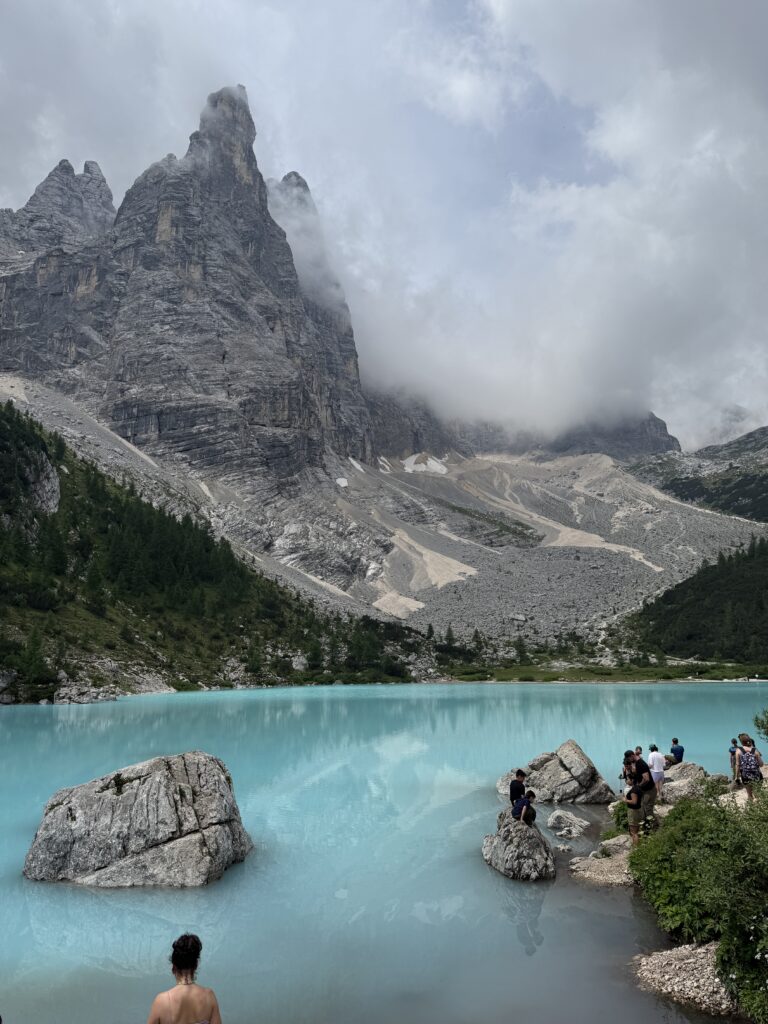
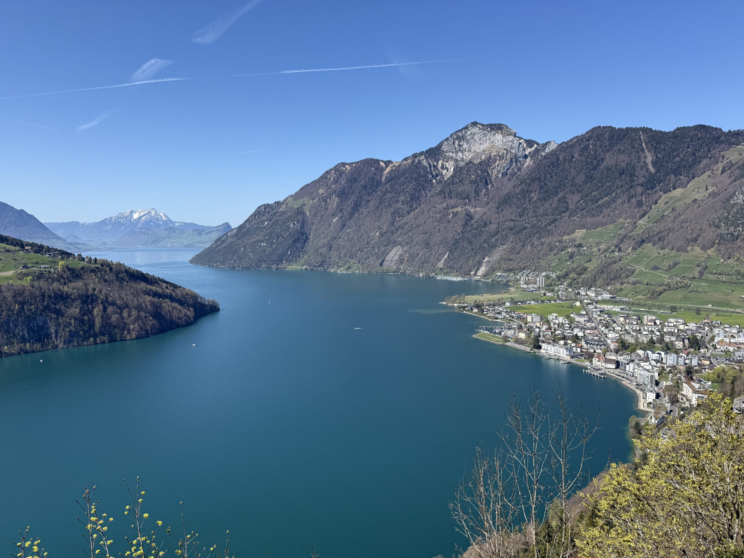
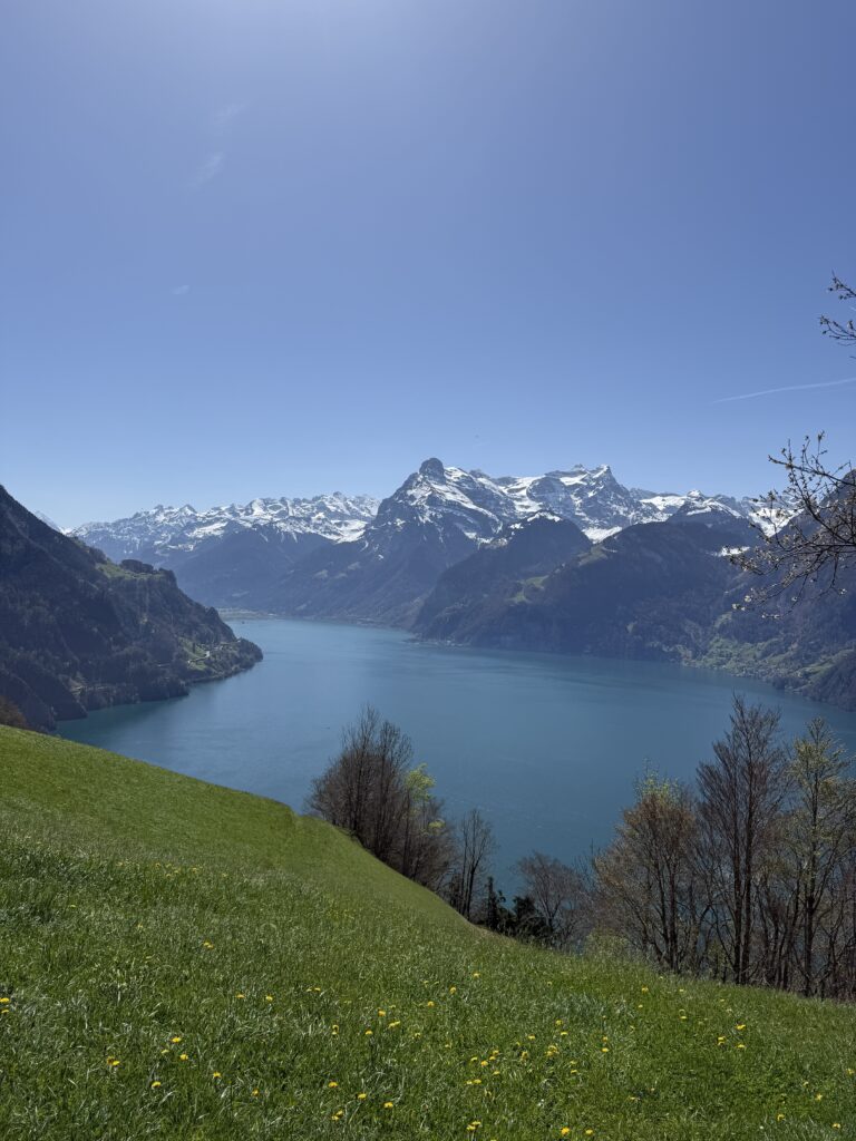
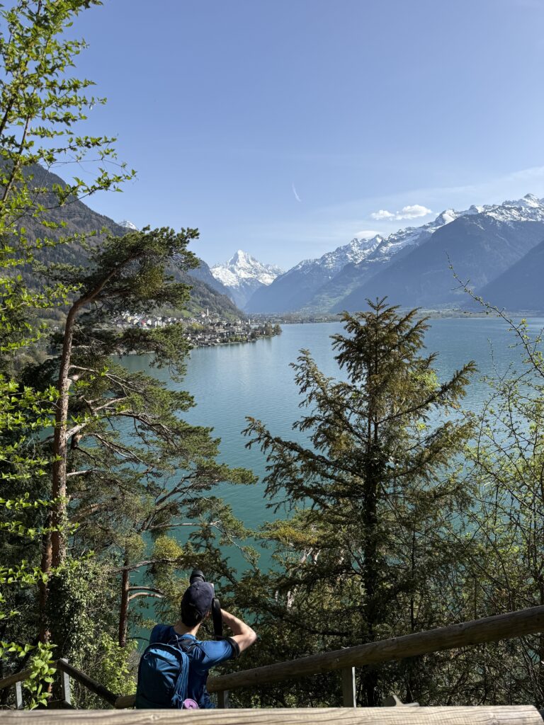
The trail then ascends through forest and meadows to the Morschach viewpoint plateau, continuing to the Axenstein-Känzeli with views stretching as far as Pilatus. This is the high point of the day — find a bench and take it in. On the opposite shore, the Rütli meadow is clearly visible: the symbolic birthplace of the Swiss Confederation.
From here, stage 4 ends with a steep descent through the Riemenstaldental valley down to Sisikon — a drop of around 450 metres with clear views back across Lake Uri for much of the way down.
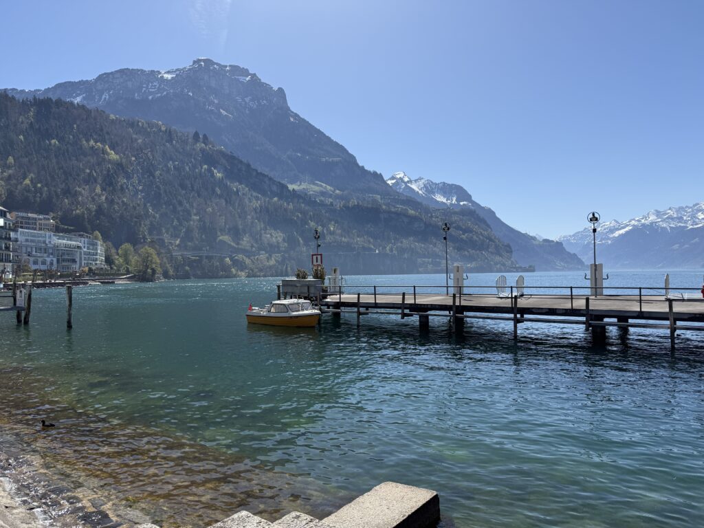
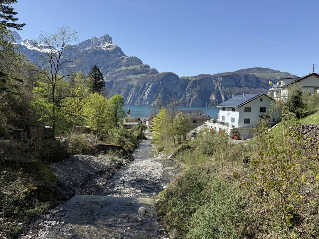
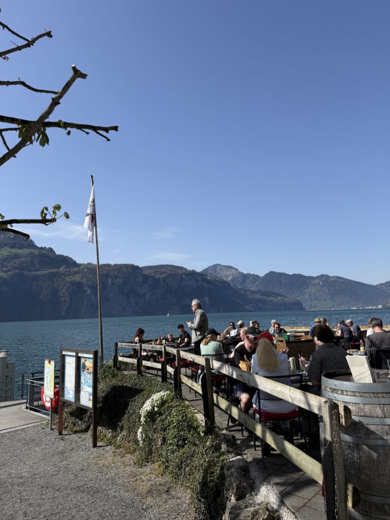
We went for a break at Seebeisli, a lovely spot right on the water in Sisikon. It was a sunny day, so time for a nice Weißbier and some icecream. Highly recommended as a rest point before tackling stage 3.
Stage 3: Sisikon → Flüelen (7.2 km / ±2h15)
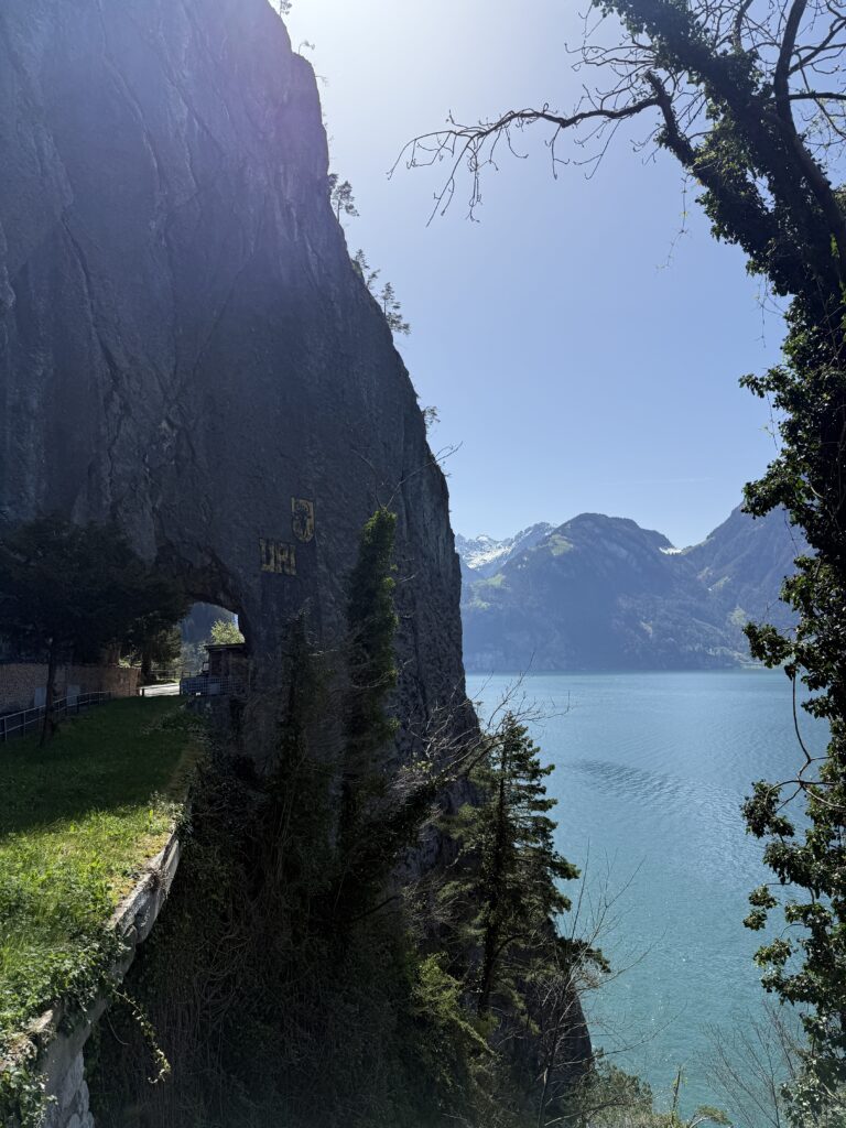
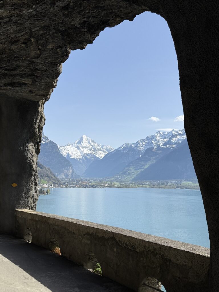
After Sisikon, the trail picks up along the lake and soon hits its most dramatic section. The path climbs onto the old Axenstrasse, which was literally carved into the cliff face, with a vertiginous drop straight down to the azure-blue lake below. The narrow paths use old railway sleepers as steps, and huge rock arches and pillars support the mountain above. A reminder that before this road opened in 1865, all traffic between Brunnen and Flüelen had to go by boat…
Along the way, 80 stone steps lead down to the Tellskapelle on the water’s edge, home to Switzerland’s largest carillon, where you can select from twenty melodies. A slightly surreal moment on an otherwise wild stretch of trail.
From the Tellskapelle, an elegant wooden footbridge continues along the lake with a few gentle ups and downs, past forest sections that feel almost Mediterranean, before a fairly steep descent via beautifully crafted stone steps brings you down to the lake promenade and into Flüelen.
Honest note: parts of stage 3 run close to the Axenstrasse, and some parts you’ll walk alongside the road. It’s not constant, but worth knowing if you’re hoping for full mountain silence. The cliff sections more than make up for it.
What to pack
- A waterbottle
- Day backpack
- Lunch or snacks to enjoy at the viewpoints
GPX Route
I’m a big fan of Komoot, so here you can find the route with distance, time, height differences all-in-one for this hike: